
Business Details
15 Years
experience
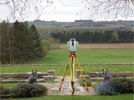
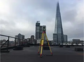
Our projects incorporate advanced technologies such as Leica RTC360 laser scanners, GPS systems, robotic total stations and ground penetrating radar (GPR) equipment. We produce detailed AutoCAD drawings, Revit BIM models and comprehensive utility and drainage reports for residential, commercial, industrial and infrastructure developments. This technical capability ensures precision and reliability across all deliverables.
Served areas
- The whole UK - London, Surrey, Sussex, South East
Details
- Year established: 2011
- Employees: 25
Highlights and features
- Topographical Surveys
- GPR Surveys
- Measured Building Surveys
- BIM Scanning
- Rebar Scanning
- Concrete Scanning for depth and Rebar
- 3D Scanning
- Revit Models
- Drainage Surveys
- CCTV Drainage Surveys and Jetting
Associations and certifications
- Full Member the TSA - The Survey Association
- CICES
Payment methods
- Bank transfers
Services
Land Topographical Surveys
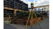
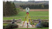
We provide high-quality land topographical surveys for clients involved in planning, design, and construction projects. Accurate mapping of land levels and site features enables efficient development and informed land management decisions. Our experienced surveyors operate Leica total stations to produce dependable and precise survey data. Each member of our team carries the required certifications for construction site entry and surveys conducted within schools.
Measured Building Surveys
We specialise in measured building surveys delivering detailed and reliable building information. Our surveyors use advanced technologies such as laser scanning and total station equipment to achieve precise results. We produce complete survey packages including floor plans, elevations, sections, and topographical surveys. Our outputs support architectural design and planning processes for varied property projects. All information is supplied in standard digital CAD formats.
CCTV Drainage Surveys
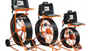
Each survey is conducted by specialist operators using advanced CCTV drainage equipment. Manhole covers are safely lifted following an existing topographical survey that identifies their position and level. Pipework is inspected to determine condition, invert levels, flow direction and construction type. The collected information is used to produce a detailed drainage condition report.
GPRS Surveys
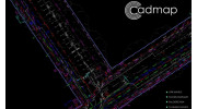
Cadmap Limited delivers PAS128 standard GPRS surveys for a wide client base from homeowners to blue chip organisations. A GPR survey is a non-invasive method for locating and mapping underground features. Radar pulses are sent underground and reflected by electrical property changes variations. Data is processed into images or 3D models used in construction, utilities and archaeology surveying outputs.

Boundary Surveys
We at Cadmap Ltd deliver boundary surveying services to a diverse client base. Such work requires experienced surveyors and precise equipment, since basic measuring devices do not ensure adequate accuracy for legal or planning purposes. Our services are commonly used for dispute resolution, land registry applications, and site area calculations. We supply detailed boundary reports and compliant plans.
3D Laser Scanning BIM
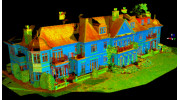
We provide 3D laser scanning services using Leica equipment for accurate survey capture. The P20 scanner records up to one million points per second, enabling fast high-density data collection. This is ideal for short timeframes or complex site conditions. We produce elevations, floor plans and specialist survey outputs.
Videos
Reviews (2)
Azid Ahmed
May 23, 2026
Report
Excellent service from CADMAP Limited. The team was efficient, professional, and delivered accurate survey data on time. Very easy to work with and highly recommended.
Andrew Wainwright
Feb 19, 2026
Report
Top Survey Company, I have used this company to trace Underground pipes across my garden for a Thames Build Over, thanks so much Mike for your hard work and top notch drawings.